Abstract
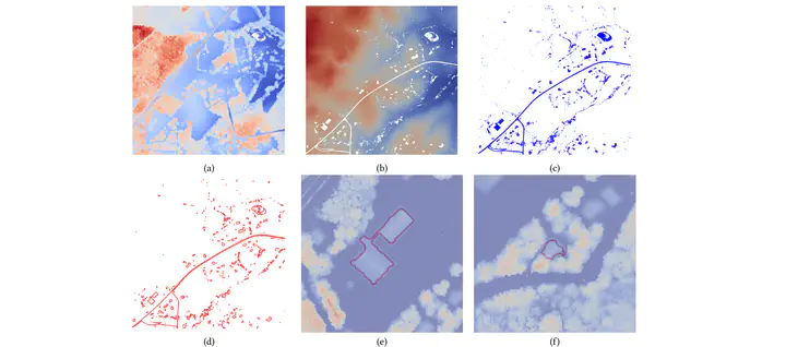
We design a novel unsupervised approach to delineate building footprints on large-scale LiDAR point clouds. By computing an α-shape on low-height points, we delineate the building bottoms on the ground. We then use the terrain ruggedness index and vector ruggedness measurement on the entire points to find flat surface areas. Finally, valid building footprints are filtered by checking flat surfaces in the detected bottom areas. Compared to the Artificial Intelligence (AI)-assisted mapping results from Microsoft Building Footprints, the accuracy of the proposed method is 17% higher in the test areas. The simple and effective pipeline makes the proposed method easy to use and suitable for a wider range of applications.
Type
Publication
Proceedings of the 30th International Conference on Advances in Geographic Information Systems